
Eye in the sky
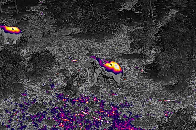
Tracking collared Elephants with drones.
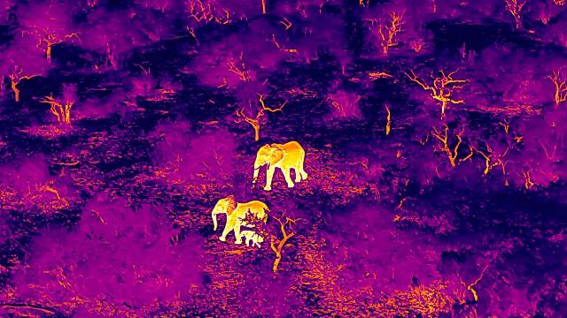
Project overview
Tracking elephants is an essential part of conservation. But what exactly does it involve?
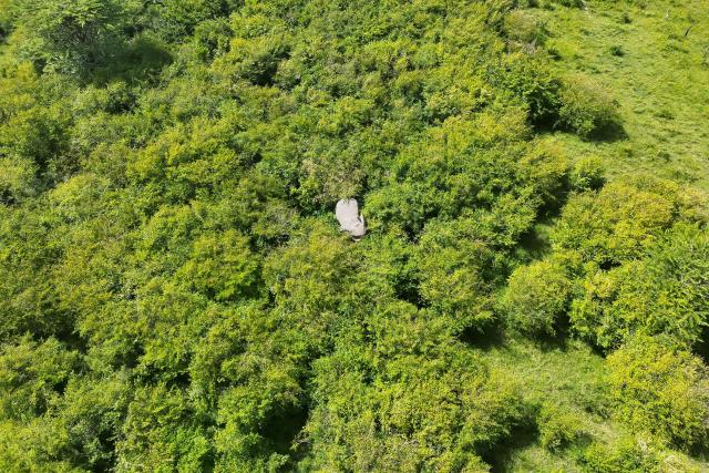
You might think these mighty giants of the savannah would be easy to spot, but dense vegetation can quite easily conceal an elephant. Moreover, they roam vast distances which can be difficult to access by vehicle or on foot.
WWF-Kenya and Kenya Wildlife Service are monitoring collared elephants using drones. These ‘conservation drones’ are equipped with a camera for capturing video or still photos. Pilots must be skilled to manoeuvre a drone safely and effectively around wildlife. One such pilot is Chris Kirimi, Communications Assistant at WWF-Kenya. Chris operates the drone used to monitor elephants within the greater Mara region of Southern Kenya.
While drones are non-invasive, they do emit a distinct ‘humming’ sound – not unlike a swarm of bees! Chris explains that as long as drones are flown responsibly and at appropriate altitudes, elephants generally show very little reaction.
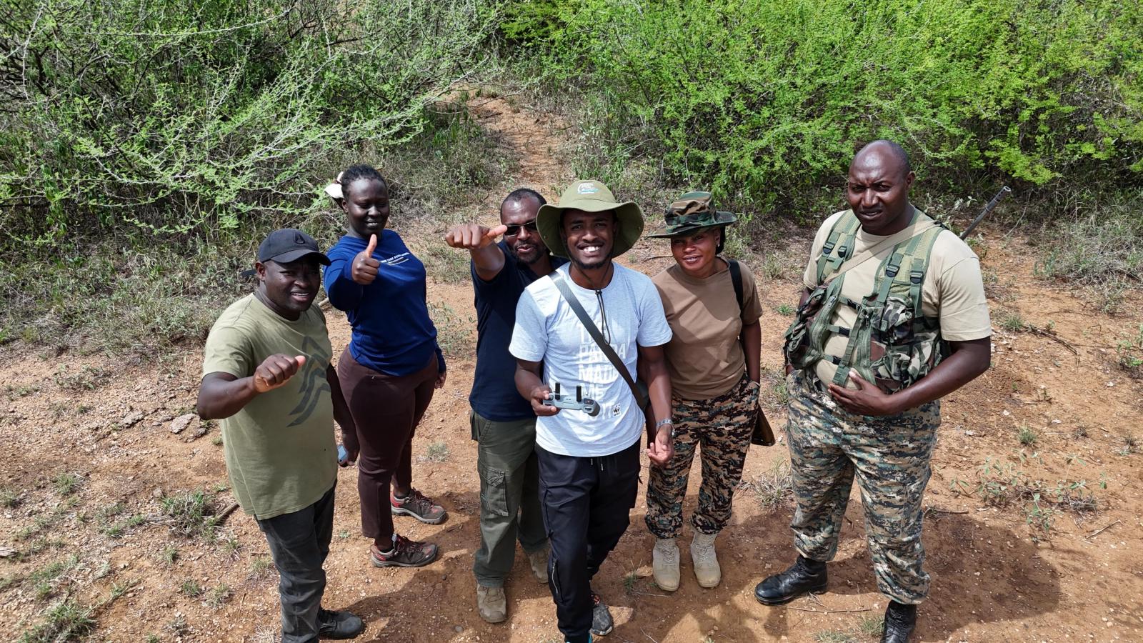
“Every flight begins with responsibility, I am thinking about safety, weather conditions, battery life, airspace, terrain, and most importantly, the welfare of the animals. My goal is always to collect the information we need while ensuring the elephants remain undisturbed”
“A drone pilot is constantly multitasking. I'm monitoring the drone's position, altitude, battery levels, signal strength, camera settings, and environmental conditions.”
Why we are doing it
Elephants travel vast distances in search of food and water. That’s why habitat connectivity is so important. Habitat fragmentation can bring elephants and community settlements into close quarters, furthering crop damage and increasing the risk of conflict.
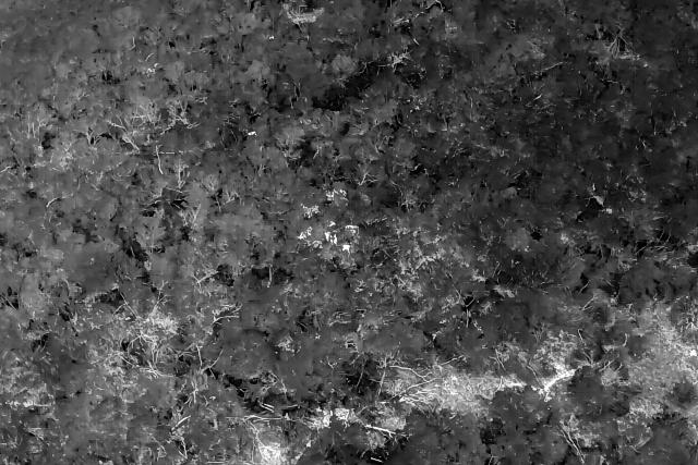
Field teams can determine the approximate location of elephants using specialised GPS collars. But they can track them only so far; their view may soon be blocked by trees, or they risk not remaining a safe distance from the elephant.
Using this technology means we can track their health, herd movements, and potential threats to better understand how elephants use the landscape.
Project impact
Drones, or Unmanned Aerial Vehicles (UAVs) have revolutionised wildlife monitoring in the last decade, and for good reason. They can quickly cover great distances and are lower cost than aircraft like helicopters. When flown correctly, they are non-invasive, helping to minimise disturbance to wildlife while keeping researchers safe.
Moreover, regularly tracking elephants using GPS collars and drones has provided vital insights into their movements, including their use of wildlife corridors. WWF and partners recently launched a new atlas mapping 24 critical wildlife corridors across southern Kenya and northern Tanzania, informing efforts to manage and restore landscape connectivity for elephants and other wildlife.
Adopt an elephant
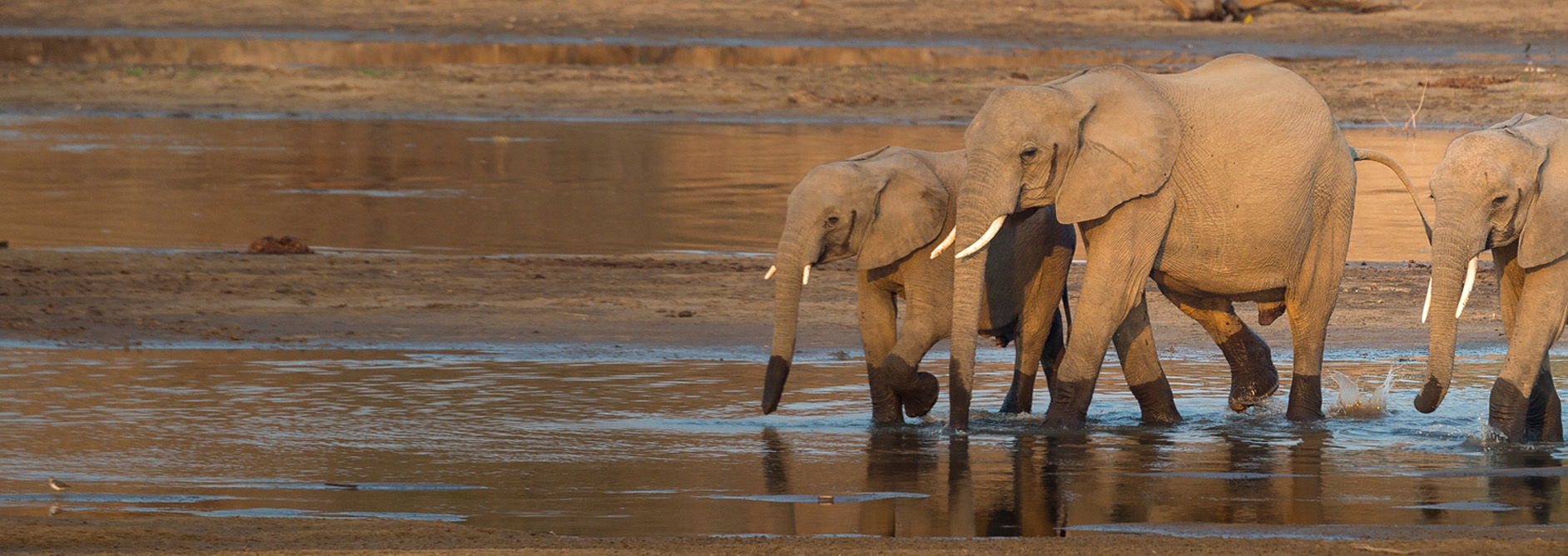
Adopt an elephant
Your adoptions will help protect and reconnect elephant habitats and reduce illegal killings of elephants; and will help fund our vital work around the world. When you choose an animal adoption, you are supporting both your chosen animals as well as wider work to help bring our world back to life.