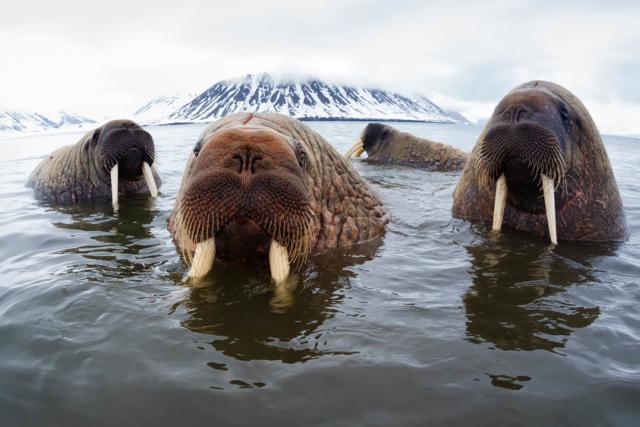
What is Walrus from Space?
Walrus are facing the reality of the climate crisis and we need to know more about how they are affected. Since 2021, WWF and British Antarctic Survey (BAS) have been asking the public to become ‘Walrus Detectives’ and help contribute to conservation science by searching for and counting walrus in thousands of satellite images taken from space.
Over several years the project, which is in cooperation with scientists around the Arctic, aims to carry out a census of Atlantic walrus populations in Canada, Greenland and the Norwegian Arctic using satellite imagery, and explore what might happen to them in the context of rapid climate change. This will help scientists to better understand the impact of climate change on populations of this iconic species and help safeguard their future.
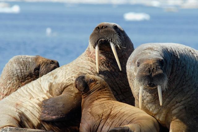
What progress has the project made so far?
To date, more than 11,000 people in 68 countries around the world have reviewed over a million images of the Arctic, detecting walrus and giving scientists vital data on walrus populations.
We have now collected 4 years of satellite imagery, Walrus Detectives have completed searches of 2 years of these images so far and have helped to count walrus in 1 year of images. While it is still too early for results, this is fantastic progress.
There is more searching to be done! Register or login now to join our Year 3 search phase!
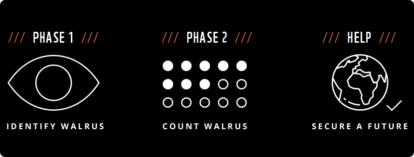
Project Roadmap
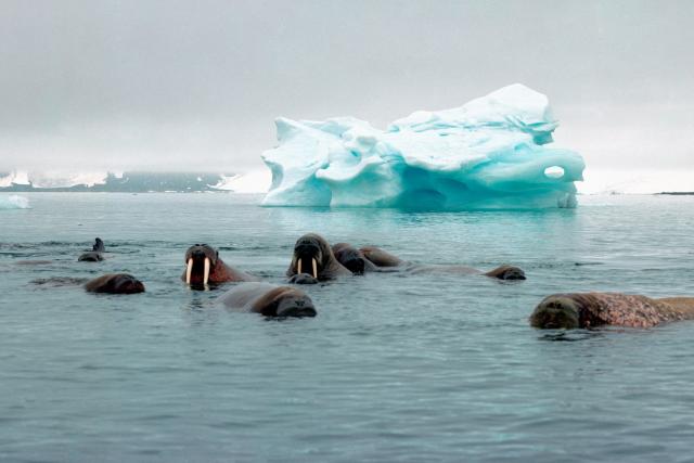
Impact of climate change on walrus
The Arctic is in meltdown, putting walrus and other species that live there at risk.
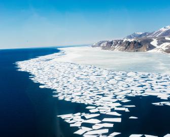
The climate crisis is causing the Arctic t0 warm almost four times faster than the global average, and the sea ice that walrus depend on is disappearing at a staggering rate. Summer Arctic sea ice extent is shrinking by 12.6% per decade as a result of warming temperatures.
Resting on land (as opposed to sea ice) may force walrus to swim further and expend more energy to reach their food (which is also being impacted by the climate crisis) and reduces the region that they can search.
The Arctic Ocean is becoming more acidic as it absorbs carbon dioxide. This makes it difficult for animals like bivalve molluscs (clams), sea snails and crabs – the main prey of walrus – to build their shells.
Walrus can also be disturbed by shipping traffic and industrial development as the Arctic becomes more accessible to such activities when sea ice is lost.
As the Arctic is a vast and changing place, we simply don’t know enough yet about how many walrus there are, the trends in their population and how the climate crisis is affecting them.
Walrus from Space – An Arctic Expedition by WWF & British Antarctic Survey
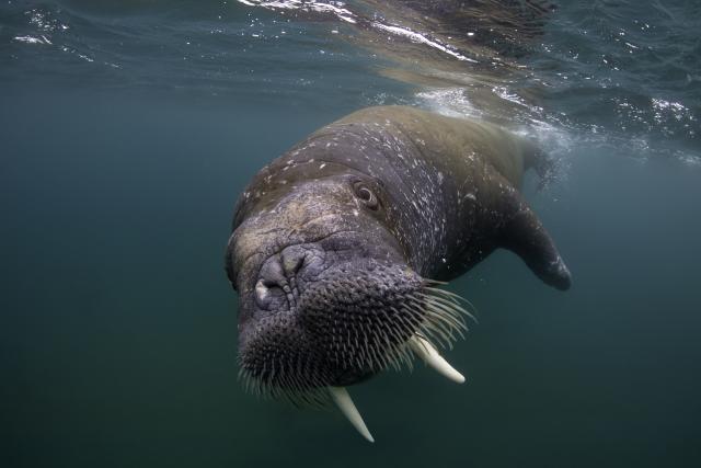
In July 2022, the Walrus from Space team - made up of scientists from WWF-UK, and British Antarctic Survey, in collaboration with scientists from the Norwegian Polar Institute - visited Svalbard, Norway to carry out research that will help to validate future walrus counts.
The team were based at Ny-Ålesund research station, from where they carried out the work over the course of one week. The team travelled by small boat to different walrus haul-outs with the aim of gathering synchronous very high resolution (VHR) satellite imagery, high-definition UAV (drone) imagery and ground counts to calibrate & verify satellite counts of Atlantic walrus.
How to get involved
We want to do our part in finding out how quickly and how seriously the climate crisis is affecting walrus populations and we need your help.
You can help search for walrus in the thousands of images that are being gathered by satellites over six years.
All you need is access to a computer or tablet and an internet connection to take part. Unfortunately, mobile phones are not suitable for searching and counting for walrus, and will not work.
The minimum recommended age for participating in the activity without adult supervision is 10 years old. All participants under the age of 13 must have parental consent to use the platform.
Create an account and then take a short tutorial on how to be a walrus detective. You will be able to test your walrus identifying skills and then get searching through the satellite imagery.
Look out for some achievement milestones along the way!
What you'll need

More about the project
In cooperation with scientists across the Arctic we will help to identify how Atlantic walrus populations change over time in comparison to their environment, spanning thousands of miles across Greenland, Norway and Canada.
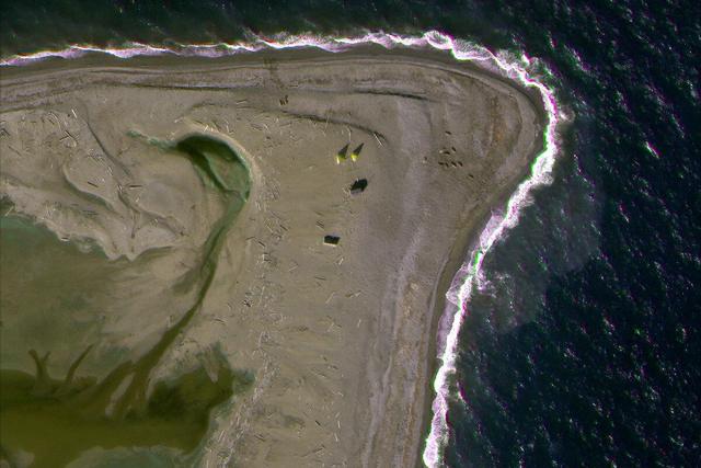
Satellites in space are continuously capturing images of Earth. Using these high-resolution images, we are able to identify, count and later estimate how many Atlantic walrus there are at certain locations.
Satellites do not disturb walrus and we can cover vast areas at once, many of which would normally be difficult and time-consuming to access.
The information gathered with the help of the public for this project, coupled with the knowledge of other research groups and local and Indigenous communities of the Arctic, will be crucial to our conservation efforts. We are currently compiling a database based on expert and Indigenous knowledge, that will be made public and updated regularly, for people to learn more about this magnificent species.
If you have a question about walrus, their habitat or the Walrus From Space project, Contact Us.




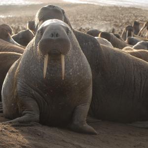 Here are our top 10 facts about Walrus
 The icy waters of the Arctic of the north pole
 Polar bear: a powerful predator on ice
 Here are 10 myths about climate change