
Revolutionized the way to quantify forests and terrain in 3D
Remote sensing technologies are one of the most important tools for monitoring environmental change at scale, and over the last few decades have revolutionized conservation and environmental research in myriad ways.
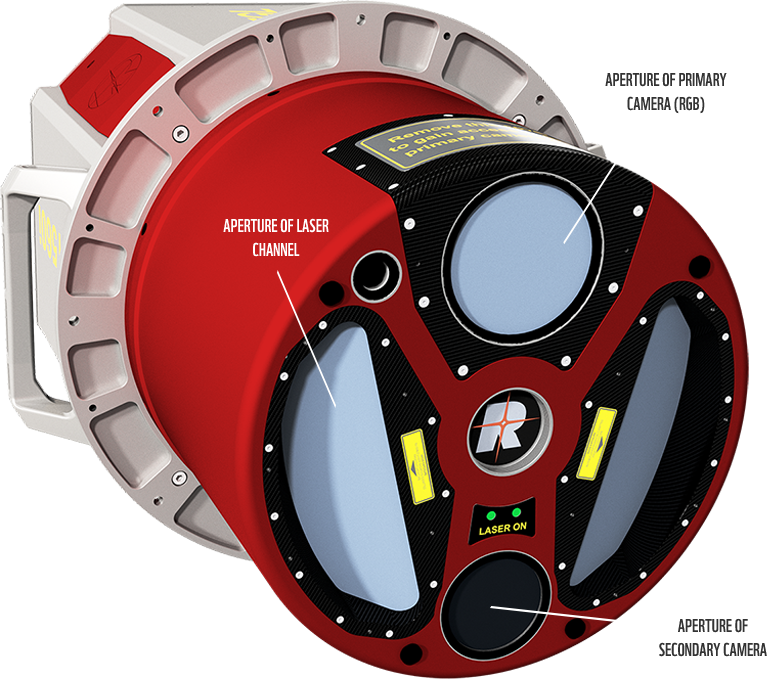
Remote sensing with Lidar
 Light detection and ranging, alternatively referred to as airborne or terrestrial laser scanning, is a remote sensing technique that produces a 3D point cloud of the structure of the terrain and the vegetation above it, and 3D structure of vegetation is known to be a primary determinant of habitat quality for many species.
The capabilities of lidar system to describe the 3D structure of forests were demonstrated almost 20 years ago, and as its use in forestry applications grew its value in ecology became increasingly apparent. Eventually, the first papers linking lidar based descriptions of vegetation structure to study wildlife habitats were published, and since then the amount of such papers has increased rapidly. Although the value of lidar to wildlife ecologists is apparent, the highly technical aspect of its use remains a barrier for many. These guidelines seek to alleviate that barrier and provide a gentle introduction to the use of lidar.
SUB-METER PRECISION IN 3D
LIDAR is superb at capturing the 3D structure of the terrain and the vegetation above it, making it a valuable technique in numerous fields.
LIDAR data can be used to estimate carbon stocks, flood risk, erosion, and the suitability of habitat for wildlife.

datasets
Even with these guidelines users will require some basic skills, and will need to invest some time to learn the techniques and to process what can be massive volumes of data. However, this investment in time and energy will be well spent because not only is lidar capable of providing unique insights into the relationship between habitats and species, but also because lidar datasets are becoming increasingly available, particularly in many western countries where nation-wide datasets are commonly free to access.
Herein we introduce the main principles of lidar: how it works and the data that it produces, what one can and can´t do with it, how and where to get it and what programs to use when processing it. In addition, the guidelines go through a range of examples of lidar being applied in real-world situations. We use figures throughout to illustrate important concepts and to make these guidelines more accessible.